Reimerswaal (The Netherlands) (original) (raw)

This page is part of © FOTW Flags Of The World website
Zeeland province
Last modified: 2018-12-15 by rob raeside
Keywords: reimerswaal |
Links: FOTW homepage |search | disclaimer and copyright | write us | mirrors
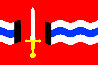 from Shipmate Flagchart
adopted 27 Jul 1971. Design: Kl. Sierksma.
- Reimerswaal municipality
- Krabbendijke
- Kruiningen
- Rilland-Bath
- Waarde Other Reimerswaal pages:
- Oostdijk
- Yerseke See also:
- Zeeland
- Zeeland Province - The Municipalities
- The Netherlands
- Alphabetical list of Dutch municipalities
- The Netherlands - Index of all pages
Reimerswaal municipality
Number of inhabitants (1 Jan 2003): 20.841; area: 243,70 km². Settlements: Kruiningen (seat), Bath, Hansweert, Krabbendijke, Oostdijk, Rilland, Waarde,Yerseke.
Reimerswaal is the result of the merger of the former municipalities of Krabbendijke, Kruiningen, Rilland-Bath,Waardeand Yerseke (1970).
Krabbendijke [former municipality]
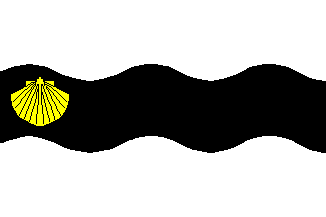 from Shipmate Flagchart
adopted 12 Apr 1962
Kruiningen [former municipality]
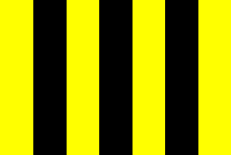 from Shipmate Flagchart
adopted 12 Aug 1954
Rilland-Bath [former municipality]
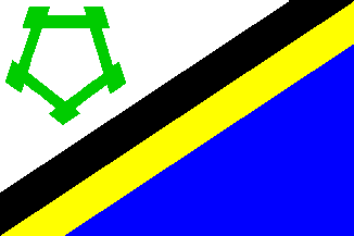 from Shipmate Flagchart
adopted 12 Mar 1962. The fortress top left is Fort Bath.
Waarde [former municipality]
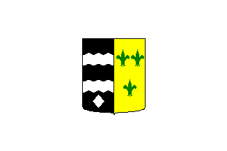 from Shipmate Flagchart
adopted 9 Apr 1954. Only used by the municipal council.