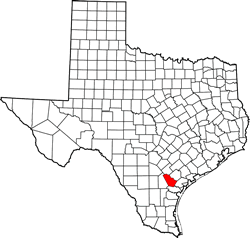
Bee County Texas. (original) (raw)
28� 25' 12" N, 97� 44' 24" W (28.42, -97.74)
Population: 31,047 (2020)
31,861 (2010) 32,359 (2000) 25,135 (1990)
Total area: 880 square miles (2,300 km2)
880 square miles (2,300 km2) land
0.1 square miles (0.26 km2) water
| |  |
| --------------------------------------------------------------------------------------------------------- |
|
| --------------------------------------------------------------------------------------------------------- |
Bee County History
1936 Centennial Marker:BEE COUNTY
Named for Col. Barnard E. Bee (1787-1853), who served Republic of Texas as Secretary of War, Secretary of State, and Minister to the United States.
County was created by legislative act on Dec. 8, 1857;
organized Jan. 25, 1858, from land earlier in Goliad, Karnes, Live Oak, Refugio, and San Patricio counties.
County seat in 1858 was on Medio Creek; since 1860 at present Beeville.
A cattle region since Spanish times, Bee County became important beef producer in 1865.
San Antonio and Aransas Pass Railroad provided first modern transportation in 1886. Oil was discovered here in 1929.
Bee County Town List
Cities, Towns & Ghost Towns: History, attractions, landmarks, architecture, monuments, museums, cemeteries, bridges, parks, vintage & contemporary images, area destinations, forum... County Seat - Beeville
Bee County Vintage Maps
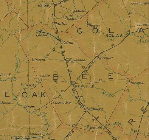
Bee County 1907 postal map
From Texas state map #2090
Courtesy Texas General Land Office
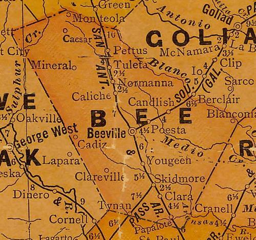
Bee County 1920s map
From Texas state map #10749
Courtesy Texas General Land Office
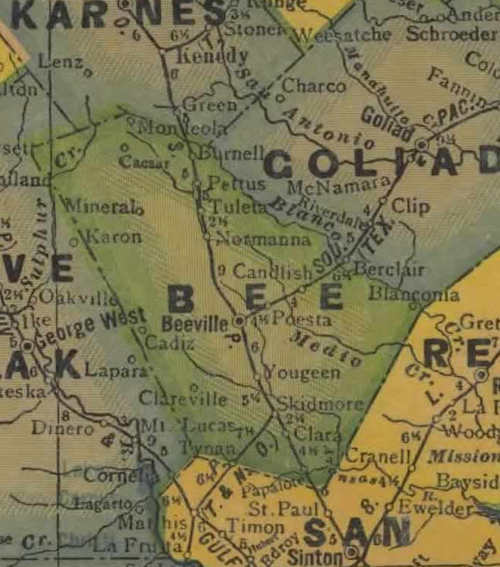
Bee County 1940s map
From Texas state map #4335
Courtesy Texas General Land Office
Bee County
1936 Texas Centennial Marker
SE corner of US 181 and FM 623 (Main St.)
Relocated from 2 miles N of Pettus Oct. 2016
Inscription plate reported missing Oct. 2016
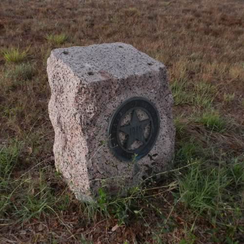
Photographer's Note:
"The Bee County market has been moved from the TxDot yard." - Barclay Gibson, June, 2021
Texas Escapes, in its purpose to preserve historic, endangered and vanishing Texas, asks that anyone wishing to share their local history, stories, landmarks and recent or vintage photos, please contact us.