Mason County Texas. (original) (raw)
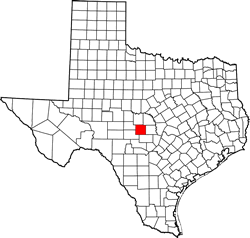
Texas | Counties 30� 43' 12" N, 99� 13' 12" W (30.72, -99.22)
Population: 4,111 est. (2016) 4,012 (2010)
Total area: 932 square miles (2,410 km2)
929 square miles (2,410 km2) land
3.4 square miles (8.8 km2) water
| |  |
| ------------------------------------------------------------------------------------------------------------- |
|
| ------------------------------------------------------------------------------------------------------------- |
Mason County History
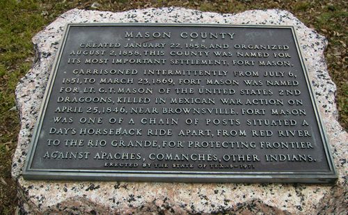
MASON COUNTY
Created January 22, 1858, and organized August 2, 1858, this county was named for its most important settlement, Fort Mason.
Garrisoned intermittently from July 6, 1851, to March 23, 1869, Fort Mason was named for Lt. G. T. Mason of the United States 2nd Dragoons, killed in Mexican War action on April 25, 1846, near Brownsville. Fort Mason was one of a chain of posts situated a day's horseback ride apart, from Red River to the Rio Grande, for protecting frontier against Apaches, Comanches, other Indians.
Mason County Town List
Cities, Towns, Ghost Towns & Forts: History, attractions, landmarks, architecture, monuments, museums, cemeteries, bridges, parks, vintage & contemporary images, area destinations, hotels, and forum.County Seat - Mason
Book Hotel Here - Fredericksburg Hotels
Mason County Vintage Maps
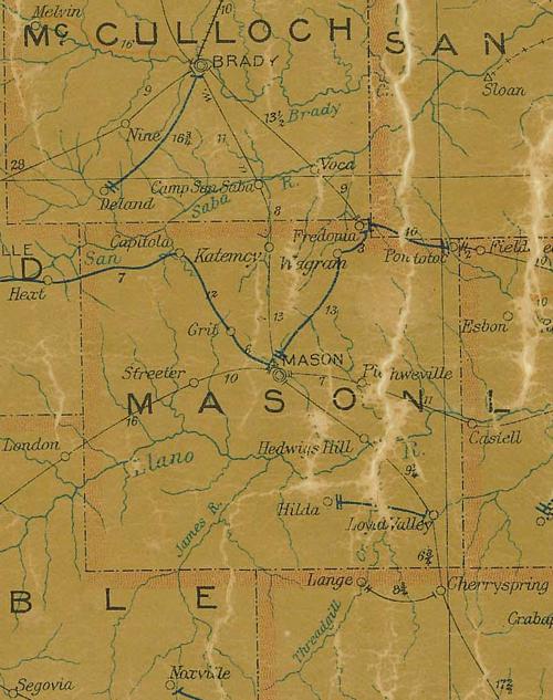
Mason County 1907 postal map
From Texas state map #2090
Courtesy Texas General Land Office
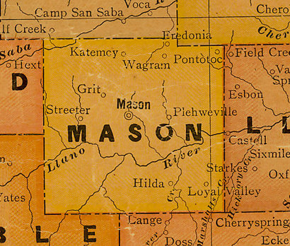
Mason County 1920s map
From Texas state map #10749
Courtesy Texas General Land Office
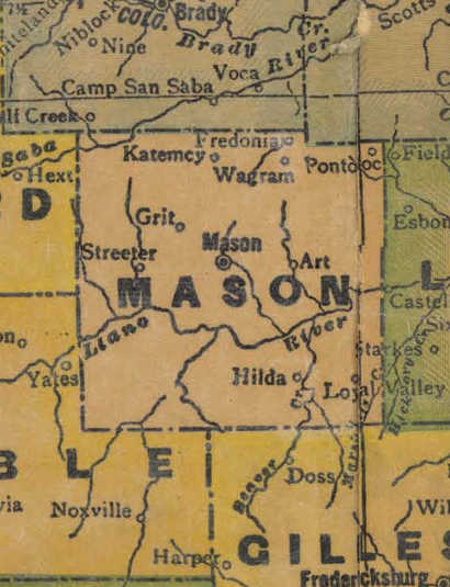
Mason County 1940s map
From Texas state map #4335
Courtesy Texas General Land Office
Mason County Centennial Marker
Texas Escapes, in its purpose to preserve historic, endangered and vanishing Texas, asks that anyone wishing to share their local history, stories, landmarks and vintage/historic photos, please contact us.