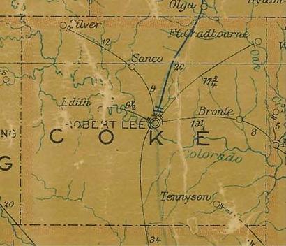
Silver, Texas, Coke County. (original) (raw)
History in a Pecan Shell
Originally a ranching community when it was formed in the 1870s, Silver was granted a post office in 1890, the same year a school opened. The post office closed (due to drought) in 1907 but reopened the following year when there was enough moisture to lick postage stamps.
The town barely existed - reporting a mere ten residents from 1910 to 1940. It is not known if they were the same ten people. Just after WWII Sun Oil Company drilled an exploratory well and came up wet. In a few short years, the Jameson Field (named for the property owner) had 59 producing wells.
Getting the oil to market proved a problem until a railroad spur was constructed from Maryneal, the closest rail connection. Later, the State of Texas made things easier when they paved Highway 208.
The population soared to 1,000, nearly all of them oil company employees. The company also invested money in a new state-of-the-art school and entrepreneurs came to open cafes and stores to serve the needs of residents.
In the 1960s, company operations declined as the wells produced fewer and fewer barrels of oil. Nearly everyone left, leaving behind 60 people to be counted for the 1980 census.
The Sun Oil Comapany maintained an office in Silver (in case of another boom) and the post office remained open. The school, silent of students, became a swine raising operation.
The 2000 census counted 60 people served by six businesses.
Silver was included in T. Lindsay Baker's Ghost Towns of Texas.
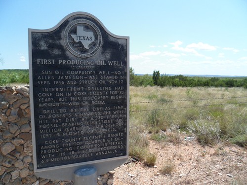
Photo courtesy MF Peck, July 2017
Photo courtesy MF Peck, July 2017
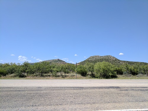
Photo courtesy MF Peck, July 2017
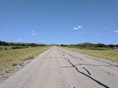
Photo courtesy MF Peck, July 2017
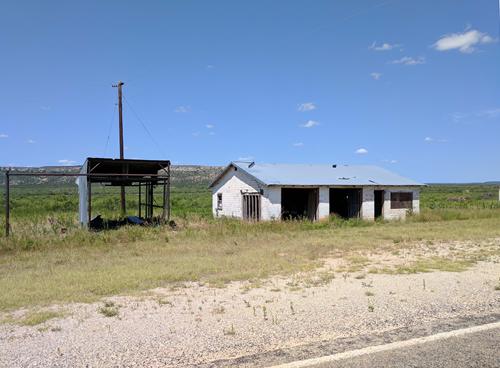
Photo courtesy MF Peck, July 2017
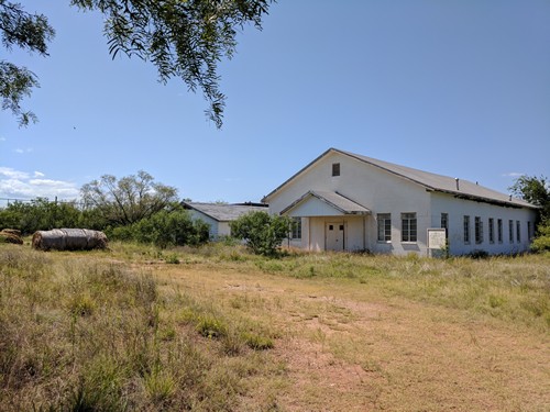
Silver Baptist Church
Photo courtesy MF Peck, July 2017
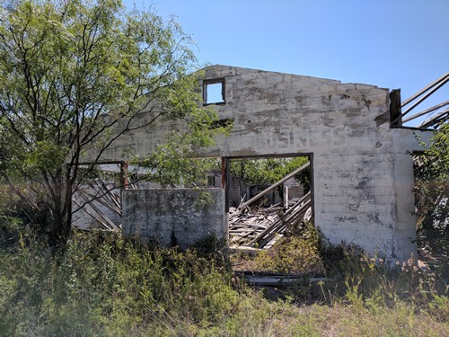
Photo courtesy MF Peck, July 2017
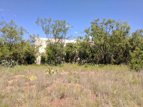
Photo courtesy MF Peck, July 2017
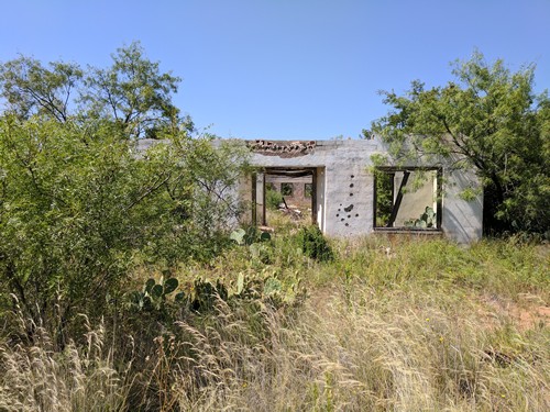
Photo courtesy MF Peck, July 2017
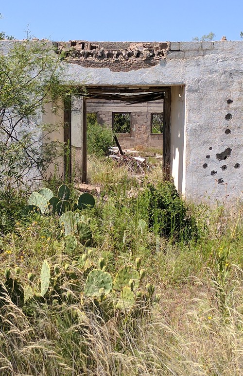
Photo courtesy MF Peck, July 2017
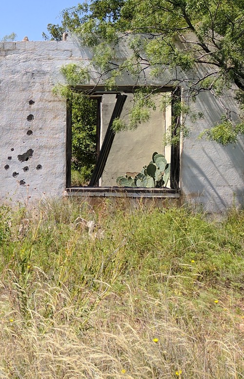
Photo courtesy MF Peck, July 2017
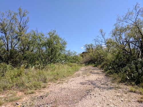
Path
Photo courtesy MF Peck, July 2017
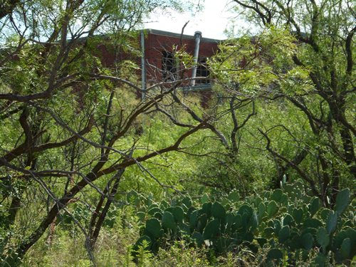
Photo courtesy MF Peck, July 2017
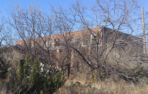
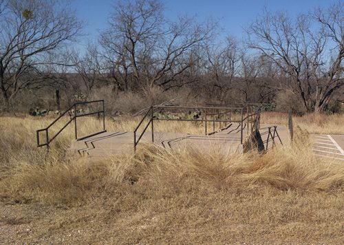
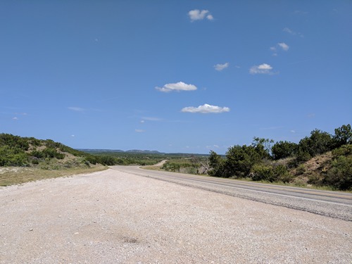
Photo courtesy MF Peck, July 2017
Silver, Texas Historical Markers
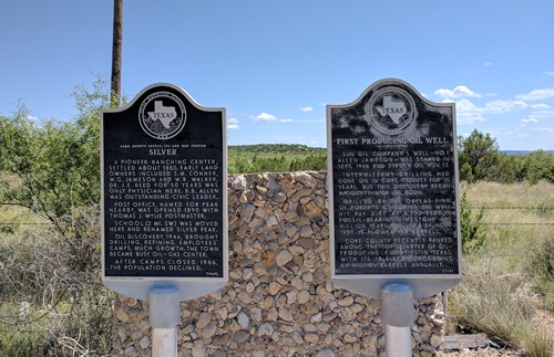
At intersection of Hwy 208 & FM 1672, 1 mile E of Silver
Photo courtesy MF Peck, July 2017
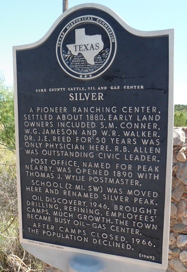
Photo courtesy MF Peck, July 2017
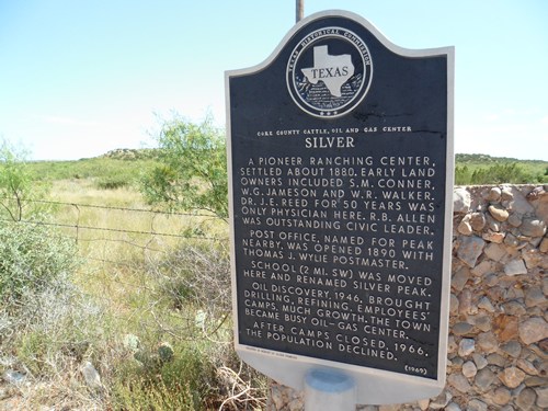
Historical Marker:
Coke County Cattle, Oil and Gas Center
SILVER
A pioneer ranching center, settled about 1880. Early land owners included S.M. Conner, W.G. Jameson and W.R. Walker. Dr. J. E. Reed for 50 years was only physician here. R.B. Allen was outstanding civic leader.
Post office, named for peak nearby, was opened 1890 with Thomas J. Wiley Postmaster.
School (2 Ml. SW) was moved here and renamed Silver Peak.
Oil discovery, 1946, brought drilling, refining, employees' camps, much growth. The town became busy oil-gas center.
After camps closed, 1966, the population declined.
(1969)
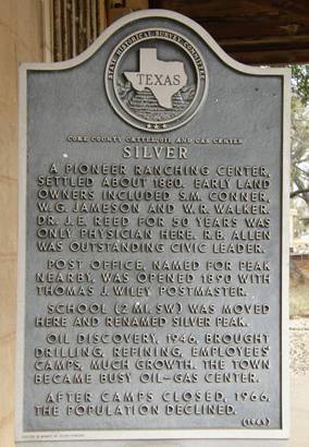
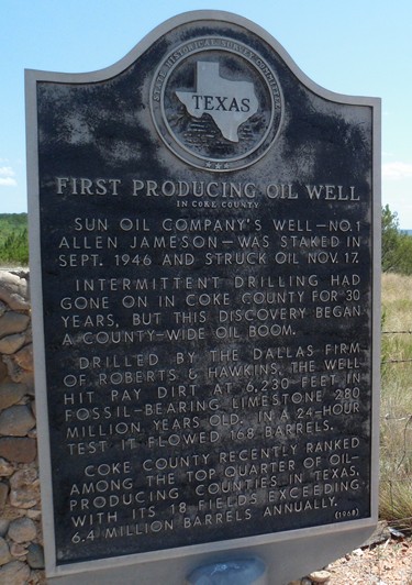
Photo courtesy MF Peck, July 2017
Historical Marker:
First Producing Oil Well
in Coke County
Sun Oil Company's well - No. 1 Allen Jameson -- was staked in Sept. 1946, and struck oil Nov. 17. Intermittent drilling had gone on in Coke County for 30 years, but this discovery began a county-wide oil boom. Drilled by the Dallas firm of Roberts & Hawkins, the well hit pay dirt at 6,230 feet in fossil-bearing limestone 280 million years old. In a 24-hour test it flowed 168 barrels. Coke County recently ranked among the top quarter of oil-producing counties in Texas, with its 18 fields exceeding 6.4 million barrels annually.
(1968)
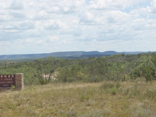
Sleeping Woman Mountain
Photo courtesy Art Burnett, June 2015
Sleeping Woman Mountain
"... Start by stopping at Sanco sign on Hwy 208. Look S/SW across Colorado River at Sleeping Woman Mountain. Summer sunrise...Solstice passes across Sanco up the Valley to highlight Sleeping Woman. No imagination needed as she is most of a mile long.
Driving north on Hwy 208 thru Panther Gap to semi ghost town of Silver, best done in the afternoon light, one comes to the King of Silver. His head is some two hundred feet tall easily viewed from Hwy 208 off North side of Hwy.
These are but two of what I believe [to be] an ancient religious site some fifty miles in diameter...." - Art Burnett, PantherGap.com, June 19, 2015
Texas Escapes, in its purpose to preserve historic, endangered and vanishing Texas, asks that anyone wishing to share their local history and vintage/historic photos, please contact us.