Lone Star, Texas, Red River County. (original) (raw)

(33.5487204, -95.1541125)
State Highway 37
8 1/2 Miles SW of Clarksville the county seat
8 Miles N of Bogata
23 Miles E of Paris
31 Miles N of Mount Vernon
33 Miles NW of Mount Pleasant
295 Miles N of Galveston
Population: Unknown
Lone Star, Texas Area Hotels › Paris Hotels
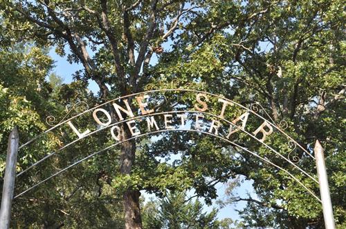
Lone Star Cemetery
Photo courtesy Gerald Massey, 2010
Photographer's Note:
"There are, of course, many Lone Stars, in Texas, but this appears to be the only one in Red River County." - Gerald Massey
Anyone wishing to share Lone Star history or vintage photos, please contact us.
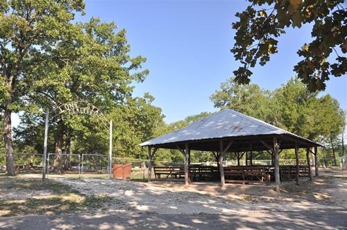
Lone Star Cemetery
Photo courtesy Gerald Massey, 2010
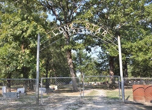
Lone Star Cemetery Gate
Photo courtesy Gerald Massey, 2010
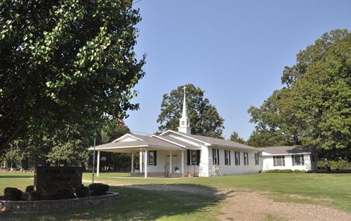
Lone Star Church
Photo courtesy Gerald Massey, 2010
More Texas Churches
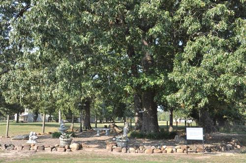
Photo courtesy Gerald Massey, 2010
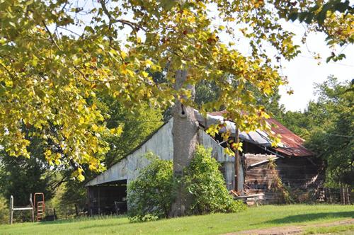
Photo courtesy Gerald Massey, 2010
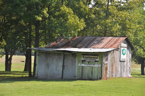
Photo courtesy Gerald Massey, 2010
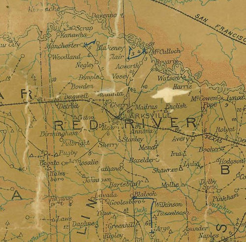
Red River County 1907 postal map showing Clarksville,
Bogata (near Lamar County line)
From Texas state map #2090
Courtesy Texas General Land Office
Red River County Towns
County Seat - Clarksville
Book Hotel Here - Paris Hotels | More Hotels
| Acworth Addielou Albion Annona Avery Bagwell Bluff Bogata Boxelder Cherry Clarksville county seat Cuthand Detroit Dimple English Fulbright | Johntown Jonesboro ghost town Kanawha Kiomatia ghost town Lone Star Lydia Madras Negley Old Dimple Rosalie ghost town Rugby Savannah ghost town Scrap ghost town Shadowland Vessey ghost town Watson ghost town White Rock |
|---|
Contiguous Counties:
McCurtain County, Oklahoma (N)
Bowie County (E) Morris County (SE)
Titus County (S) Franklin County (SW)
Delta County (SW) Lamar County (W)
Choctaw County, Oklahoma (NW)
Texas Escapes, in its purpose to preserve historic, endangered and vanishing Texas, asks that anyone wishing to share their local history, stories, landmarks and recent or vintage photos, please contact us.